About winDZaloft
About Me & SkyJunk
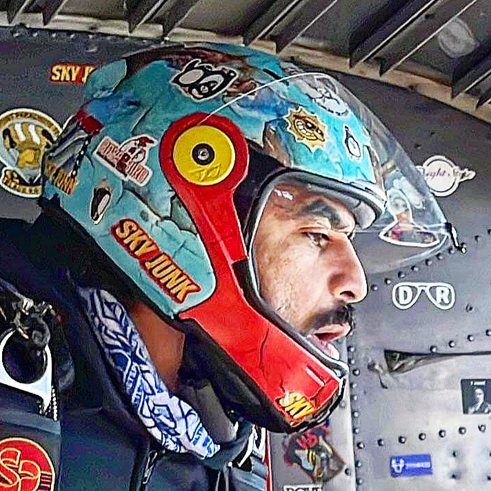
winDZaloft and SkyJunk are made by Tarek, a software engineer based in NYC, a skydiver at The Ranch, FAA certified Parachute Rigger and a skydiving gear maker working out of a home workshop.
I made my first jump at 15 years old, and that early start sparked a lasting obsession with learning and mastering everything that makes skydiving possible, safer, and more fun: rigging and gear maintenance, flying and canopy skills, understanding weather, and making good decisions.
I’m still relatively new to the sport, but SkyJunk is forever. I enjoy sharing what I’ve learned so far to help promote the sport using accessible tools for safety (winDZaloft) and fun (SkyJunk). This project exists to make weather information more readable for skydivers at real dropzones on real jump days.
Follow for updates and new feature announcements:
What winDZaloft shows you
Instead of making you decode aviation weather text, winDZaloft organizes the most useful jump-day weather information into a layout that is easier to scan at the dropzone.
- Winds aloft at the altitudes skydivers actually care about
- Surface wind and gust information
- Suggested jump run line of flight
- Freefall drift and exit-point planning help
- Weather context such as clouds, visibility, rain, radar, and alerts
The goal is not to replace weather judgment or authorize operations. The goal is to make weather data easier to understand quickly.
Why many skydivers call it the best weather tool
Most skydiving weather workflows require checking multiple apps and websites, then manually combining the results. winDZaloft is designed to do that blending in one place, with the skydiver workflow first.
- Combines upper winds, surface winds, gusts, alerts, radar context, and planning outputs on one page
- Shows source clarity for each part of the weather picture instead of hiding where numbers come from
- Prioritizes skydiving-relevant layers and decisions, not generic public weather summaries
- Uses Auto defaults to keep it simple for quick checks, while still allowing deeper manual control
- Adds practical outputs many tools miss, including jump run and drift planning context
Who this tool is built to help
winDZaloft is designed for every skydiving group that depends on accurate weather awareness and clean briefing workflows.
- Students and new skydivers who need clearer weather interpretation and less jargon
- Schools and instructors running repetitive daily weather briefings
- Dropzone operators and manifest teams coordinating safe load planning
- Skydiving pilots who need fast line-of-flight and layer-wind visibility
- Canopy pilots and CRW teams who rely on precise lower-layer wind behavior
- Military jump units and demo jump teams that require conservative weather awareness
- Experienced fun jumpers who want one tool instead of switching between many